// OPEN INTELLIGENCE — PUBLIC ARCHIVECASE FILE · THE RECORD
FRFRFR
← THE ARCHIVE
◆ CASE FILEThe facts, corroborated

The Baltic Sea Anomaly

In 2011 a Swedish treasure-hunting team searching for a shipwreck recorded a large circular formation on the Baltic seabed. Divers reached it the following year and reported equipment failing near it. This is the record of what the team reported and recovered, not a verdict on what lies at ninety metres.

◆ THE SHORT VERSION

  • The Baltic Sea Anomaly is a reported UAP case in Baltic Sea, 2011–2025.
  • The record describes electromagnetic effects.
  • For this case Fractured Realities holds 2 distinct sources and 6 distinct claimants on its resolved list.
  • The archive grades it L3 · MULTI-SOURCE — multiple independent sources attest to it.

Counts are resolved totals of what sources say, computed 2026-10-03; the reported details above are claims in the record, not findings. A record of reports, not a verdict on what happened.
The Baltic Sea Anomaly
AI reconstruction · not evidence · built from the case record
EVENT DATE
2011–2025
LOCATION
Baltic Sea · International waters / Finland
COORDS
60.08°N 19.78°E
INDEPENDENCE
L3 · MULTI-SOURCE
SOURCES
2 distinct
CLAIMANTS
6
STATUS
Multi-source testimony
NUMBERS COMPUTED 2026-10-03 · RESOLVED COUNTS, NOT A VERDICT

VIEW ON ATLAS →

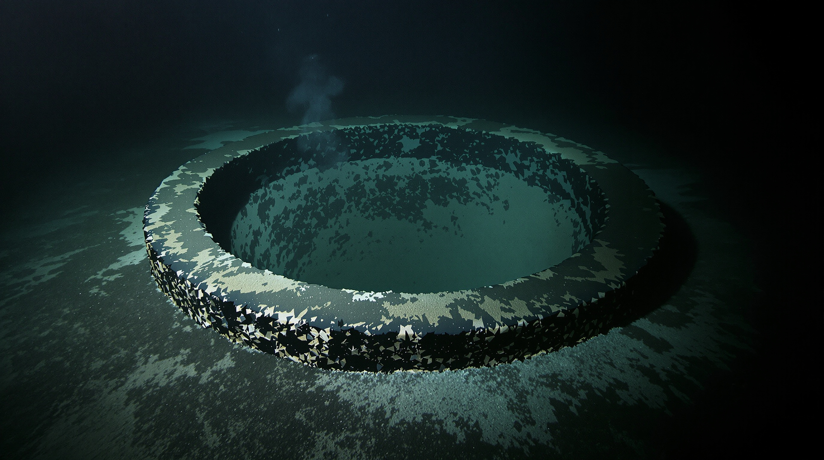
The Ocean X team were looking for a wrecked champagne cargo when their side-scan sonar returned something else: a round formation roughly sixty metres across on the seabed, with what the operators read as corridors, right angles and holes. It did not look to them like a wreck or a rock. The image circulated widely, and the team returned to dive it.

What is on the record

Four tellings across two independent channels, six named claimants, no documents. The grade is testimony.

The dive accounts are the substance. A diver reported brushing sediment from a hard dark surface too hard to sample. He recorded a temperature near zero where the surrounding water sat at four or five degrees, and a hole through which milky sediment moved in and out. Across several trips the team describe GPS failing near the object, cameras and lights stopping, and radar showing phantom returns, with the effects intensifying closer in. One telling states that equipment belonging to Stockholm University lost GPS over the site as well.

The file also records the counterweight, and it is substantial. The samples recovered were assessed as volcanic rock. That is in the archive alongside the anomaly claims because leaving it out would misrepresent the record.

Why it sits where it does

This grades L3 on multiple independent tellings. The Baltic sits within a glaciated basin where dropstones and moraine are ordinary, which is a live and unresolved explanation rather than a settled one. What the sonar imaged, and why instruments are said to have failed above it, is not resolved here.

◆ CORROBORATION
✓2 independent video sources across 2 channels
✓6 resolved claimants
◆ SOURCES

Everything this file draws on, in the open — reports, not reality. Check us.

Watch — the tellings

Each plays the source video — right here, cued to the exact moment this case is covered.

SEABED ANOMALYEQUIPMENT FAILURE2012BALTIC SEA

CASE FILES STATE THE RECORD AS OUR ARCHIVE HOLDS IT — FACTS, NOT OPINION. REPORTS, NOT REALITY.

◆ CONTINUE READING
The Baltic Sea Anomaly — Case File · Fractured Realities